Sanitation Library
Total results: 4447
Searching for information on Sanitation Workers?
The Sanitation Workers Knowledge + Learning Hub is the best source for all current news, trends, articles and updates on sanitation workers rights around the world.
435 Views
8 Downloads
Kaliakair Municipality is situated within the Kaliakair Sub-District (Upazila) in Gazipur District (Zila), which is under Dhaka Division. The geographical coordinates of Kaliakair are 24° 4' 10.03'' N and 90° 13' 19.64'' E . It is bordered on the north by the Upazilas of Mirzapur and Sakhipur, on the south by the Upazilas of Savar and Dhamrai, on the east by the Upazilas of Gazipur Sadar and …
428 Views
16 Downloads
Kolhabi Municipality is situated in Bara District of Madhesh Province in the southern region of Nepal. It is divided into 11 wards and covers an area of 157.40 sq. km. It was restructured by merging the already-existing Kolhabi, Sapahi, Prasauna, Kakadi, Amab, Bachhanpurwa, Rampurwa Village Development Committeees (VDCs) and some wards from VDCs Sinhasani (wards 1 and 2), Haraiya (ward 6), …
428 Views
4 Downloads
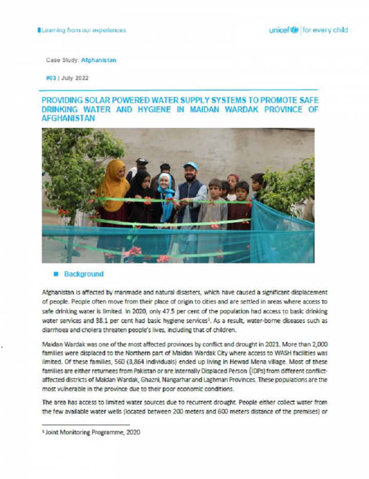
Afghanistan is affected by manmade and natural disasters, which have caused a significant displacement of people. People often move from their place of origin to cities and are settled in areas where access to safe drinking water is limited. In 2020, only 47.5 per cent of the population had access to basic drinking water services and 38.1 per cent had basic hygiene services1. As a result, …
427 Views
21 Downloads
Gaur Municipality is in Nepal’s southern Terai area. The municipality was formed in April 1992 by merging Gaur, Tikuliya, Purenywa, Sirshiya and Swagadha Village Development Committees (VDCs). The municipality is divided into nine political ward boundaries. According to the census 2021, the municipality has a total population of 39,846 and there are 7,235 households with an annual growth rate …
427 Views
0 Downloads
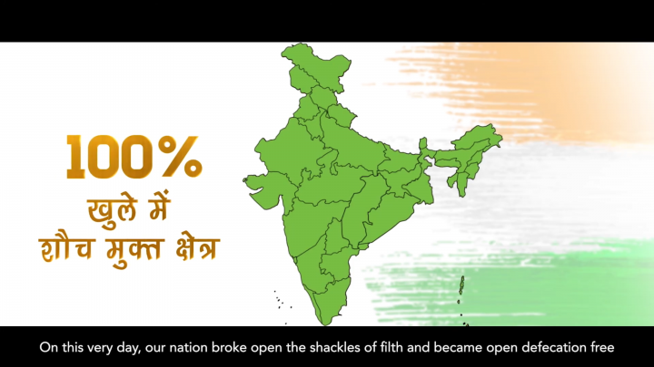
As the Swachh Bharat Mission ventures into the second phase of its implementation - moving from ODF to ODF Plus – the Ministry of Jal Shakti released a programme inception film that shows how India will transition its efforts sustain the gains of the first phase and achieve a clean living environment through faecal and plastic waste management. The film has been jointly produced by the WASH and …
423 Views
0 Downloads
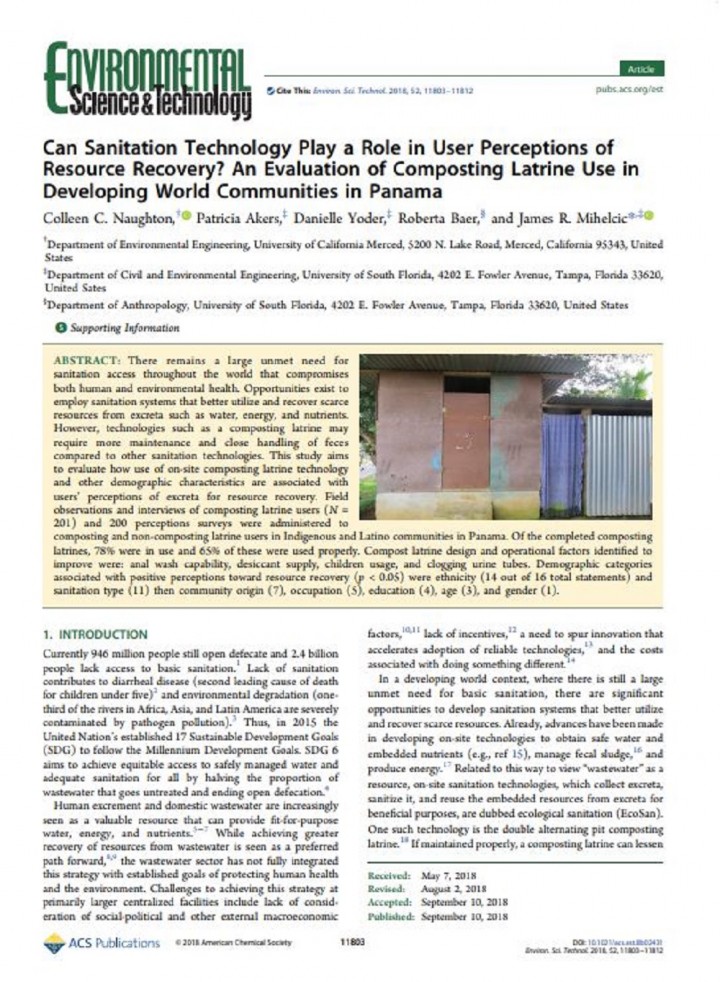
There remains a large unmet need for sanitation access throughout the world that compromises both human and environmental health. Opportunities exist to employ sanitation systems that better utilize and recover scarce resources from excreta such as water, energy, and nutrients. However, technologies such as a composting latrine may require more maintenance and close handling of feces compared to …

423 Views
6 Downloads
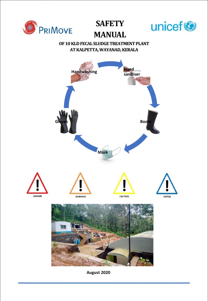
This Manual is needed for the technical persons to be trained as Operators and helpers at the FSTP site at Waynad. It contains Technical Guidelines for carrying out the works. A series of manuals are made, Operation and maintenance manual and Operator Instruction manual are the others.
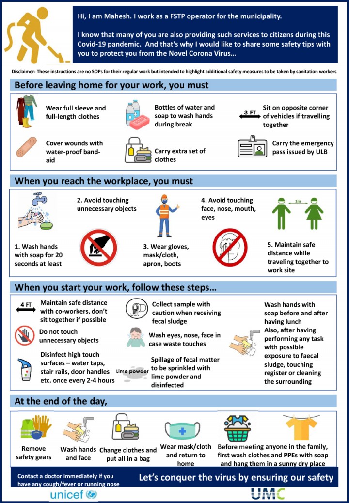
This Health and Safety Rulebook is presented for the use of all employees of the Faecal Sludge Treatment …

415 Views
29 Downloads
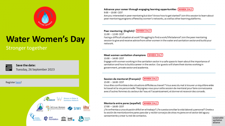
The SuSanA Secretariat hosted the Second virtual Water Women’s Day on Tuesday, 26 September in collaboration with the Community of Women in Water, Women in Water & Sanitation Network, African Women Sanitation Professionals Network, SIWI’s Women in Water Diplomacy Network in the Nile and Central Asia & Afghanistan, African Water and Sanitation Association, Rural Water Supply Network, Women for …
412 Views
12 Downloads
Rajpur Municipality was established in 2016. The municipality is located in Rautahat District, Madhesh Province. The municipality is divided into nine political wards. The municipality has a total population of 54,083 with 26,574 males and 27,509 females (Census 2021, n.d.). Out of total wards, ward number 1 has the largest population (7,801) while ward number 8 has the least population (4,193). …
410 Views
0 Downloads
El procedimiento de revisión de cinco pasos desarrollado por la iniciativa de promoción de SFD garantiza la estandarización de todos los reportes SFD publicados en el Portal Web de SFD. Estaremos encantados de proporcionarle comentarios sobre su reporte SFD.
Un miembro del grupo de expertos le proporcionará comentarios sobre la evaluación y lo guiará a través del control de calidad para …
407 Views
4 Downloads
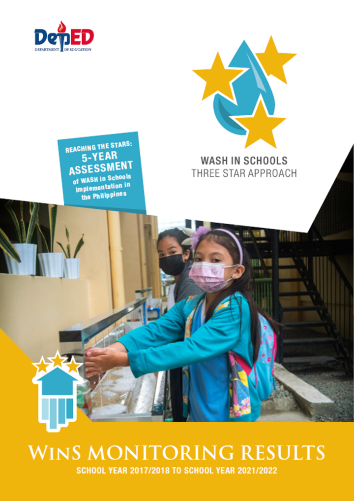
Water, Sanitation and Hygiene (WASH) in Schools program in the Philippines has improved significantly over the past years of implementation and contributed to the health and well-being of school children. The program started in 2016 through the DepEd Order No. 10 S-2016 titled “Policy and Guidelines for the Comprehensive WASH in Schools (WinS) Program”. This policy has able to set specific …
402 Views
14 Downloads
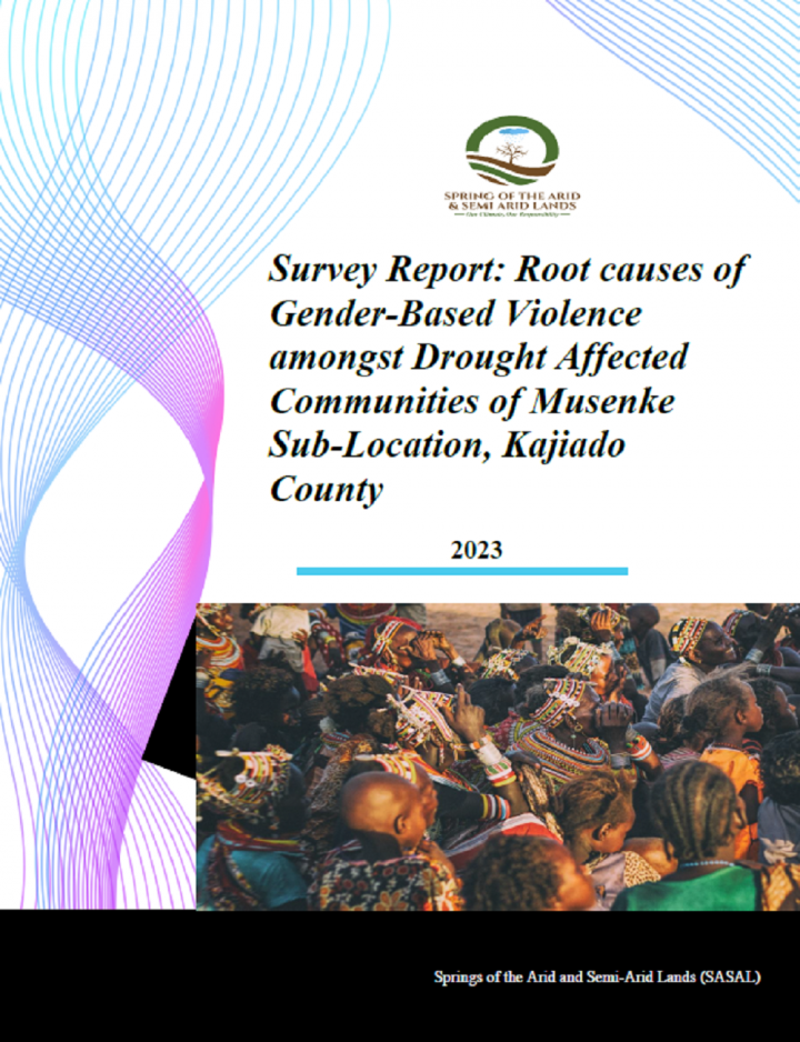
This study was conducted in the pastoral community of Musenke Sub-Location in Kajiado County (Kenya).
The purpose of this study was to carefully identify root causes of gender-based violence (GBV) and closely associated themes, the extent of harm and level of response. Additionally, the study aimed to understand the community’s cultural practices, economic status and willingness to accept and …
398 Views
1 Downloads
Hygiene promotion is a cornerstone of humanitarian response during infectious disease outbreaks. Despite this, we know little about how humanitarian organisations design, deliver or monitor hygiene programmes, or about what works to change hygiene behaviours in outbreak settings. This study describes humanitarian perspectives on changing behaviours in crises, through a case study of hygiene …
395 Views
9 Downloads
Janakpurdham Sub-Metropolitan City is situated in Dhanusa District of Madhesh Province in the southern region of Nepal. Formerly, it was established as Janakpur Sub-metropolitan City on 1960. Later on 2014, it was re-named as Janakpurdham and changed the sub-metropolitan city to sub-metropolitan city. It is divided into 25 wards
As per the national population and housing census conducted in …
394 Views
1 Downloads
Handwashing with soap, when done correctly, is critical in the fight against COVID-19, but 3 billion people have no ready access to a place to wash their hands with soap at home. WHO released interim guidance on 1 April 2020, recommending to all Member States to make hand hygiene facilities in front of public and private commercial buildings as well as at all transport hubs obligatory. In …
390 Views
1 Downloads
The purpose of this qualitative participatory action research study was multi-fold: first, to identify the ecological
factors which impede and promote health and well-being among orphaned and abandoned children in Sierra Leone; second, to facilitate Photovoice, a participatory action research method, among NGO workers to identify barriers to caregiving for orphaned and abandoned children; and …
385 Views
39 Downloads
Salfeet is located in the middle of the West Bank. It is bordered by the Ariel settlement and Marda village to the north, Nablus Governorate to the east, the Green Line (the 1949 Armistice Line) to the west, and Ramallah Governorate to the south. As a region, Salfeet covers a total land area of 27 km2.
The 2021 population is 11,873 inhabitants (PCBS, 2021) with a population growth rate of …
381 Views
2 Downloads
Market based programming is increasingly heralded as having a critical place in the future of humanitarian programming. The proposed benefits of working through existing market systems include improvements to speed, efficiency and effectiveness of programming and increased beneficiary dignity and choice. Advocates for market based approaches claim that, where feasible, they promote economic …
371 Views
4 Downloads
The Royal Government of Bhutan and in particular, the Ministry of Health (MoH) has been concerned with the high prevalence of sanitation and hygiene-related diseases. This was largely due to low coverage of hygienic pour-flush toilets; high prevalence of inferior quality pit toilets (without slab/cover) which were unsanitary and unhygienic; and households without toilets. The Bhutan Multiple …
371 Views
0 Downloads
Humanitarian action provides life-saving services and facilitates recovery for communities affected
by armed conflict, natural disasters and other complex emergencies. The responsibility of humanitarian actors to promote gender equality is supported by a normative framework validated by extensive field experience. This handbook sets out the rationale for integrating gender equality into …