Sanitation Library
Total results: 4447
Searching for information on Sanitation Workers?
The Sanitation Workers Knowledge + Learning Hub is the best source for all current news, trends, articles and updates on sanitation workers rights around the world.
983 Views
43 Downloads
Kanchipuram Municipality is comprised of 51 wards with a total population of 2,32,816. The total area is 36.14 Square kilometers. The city is on the northeast side of Tamilnadu and is located 76 km away from the state capital Chennai (see Figure 2). It’s a Municipality administration city. The city is located in the banks of the river Vegavathi. Kanchipuram is considered one of the ancient …
1404 Views
41 Downloads
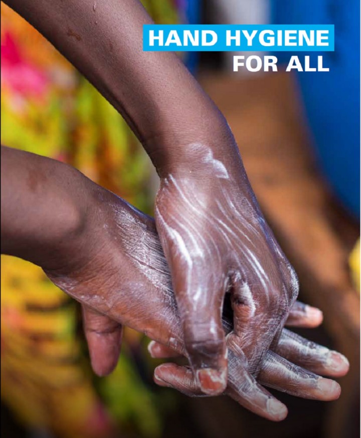
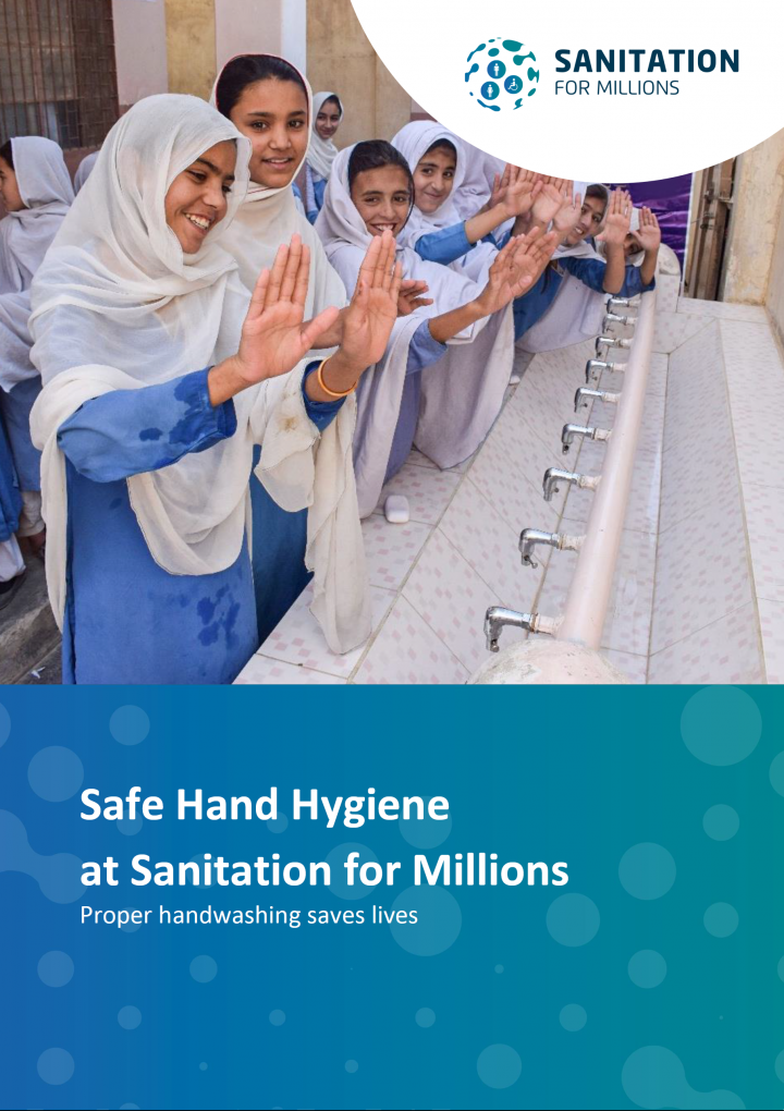
Three billion people – 40 per cent of the world’s population – do not have a place in their homes to wash their hands with water and soap. Three quarters of those who lack access to water and soap live in the world’s poorest countries and are amongst the most vulnerable: children and families living in informal settlements, migrant and refugee camps, or in areas of active conflict. This …
1581 Views
60 Downloads
The Tarabo Municipality is 14 km away from Dhaka, the capital of Bangladesh. This sub-district town is recognized as the “Intangible Cultural Heritage of Humanity” by UNESCO. Tarabo Municipality is adjacent to the Shitalakkha river and the Dhaka-Sylhet highway has passed through the town. Within the last few decades, the sub-district town has been turned into an industrial zone of more than …
1341 Views
50 Downloads
Homna is a sub-district town of Comilla district in the division of Chittagong, Bangladesh. The town is situated beside the Titas River and well connected with road and water to the capital city Dhaka. It town was declared as Municipality in 2002.
According to the population census of 2011 by the Bangladesh Bureau of Statistics (BBS), the Municipality population was 29,173. The urban population …
1849 Views
95 Downloads
Bandarban is located in the South-East of Bangladesh. Bandarban is a hilly District and Bandarban municipality is the district town. It is a fast-growing city, which is 324 km away from Dhaka city. It is beside the Sangu River and well connected with road and water. It is one of the oldest towns in the sub-continent and was declared Municipality in 1984. Bandarban is one of the 53 district-level …
957 Views
9 Downloads
Sanitation for Millions has assessed its interventions in the three partner countries Jordan, Uganda and Pakistan in the context of the COVID-19 pandemic and identified various WASH-related measures which represent an adequate and effective response to COVID 19 in particular and to pandemics and infection control in general.
Handwashing is one of the core activities carried out regarding safe …
1228 Views
17 Downloads
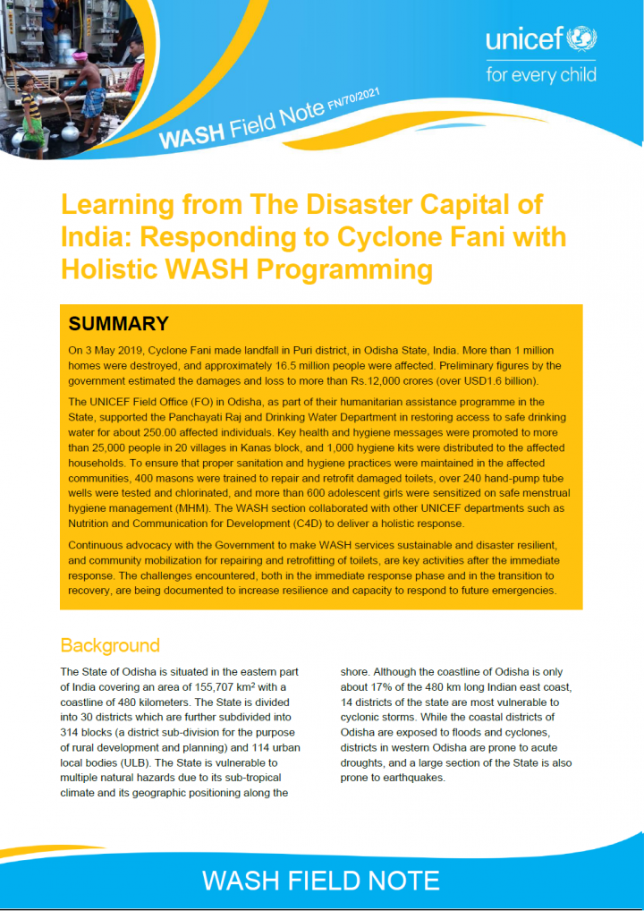
On 3 May 2019, Cyclone Fani made landfall in Puri district, in Odisha State, India. More than 1 million homes were destroyed, and approximately 16.5 million people were affected. Preliminary figures by the government estimated the damages and loss to more than Rs.12,000 crores (over USD1.6 billion). The UNICEF Field Office (FO) in Odisha, as part of their humanitarian assistance programme in the …
1394 Views
38 Downloads
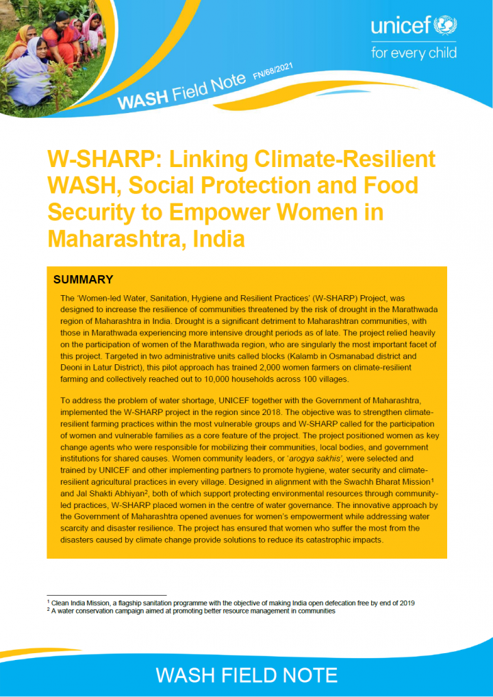
The ‘Women-led Water, Sanitation, Hygiene and Resilient Practices’ (W-SHARP) Project, was designed to increase the resilience of communities threatened by the risk of drought in the Marathwada region of Maharashtra in India. Drought is a significant detriment to Maharashtran communities, with those in Marathwada experiencing more intensive drought periods as of late. The project relied …
2422 Views
47 Downloads
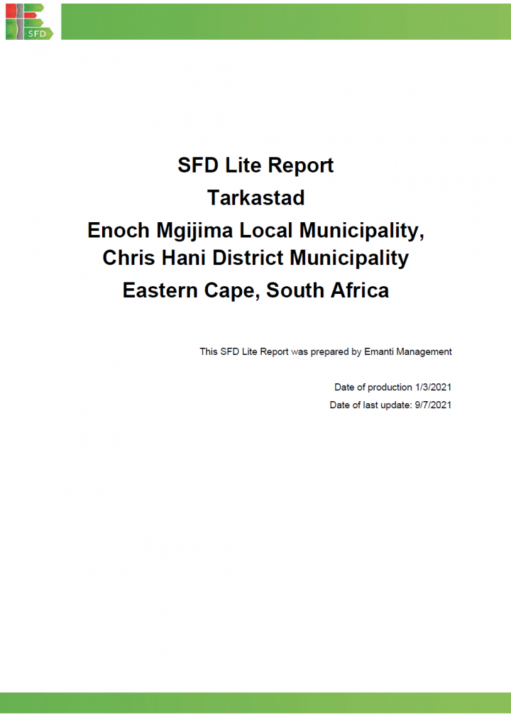
Tarkastad (GPS coordinates: 32.0048 S, 26.2717 E) is a primary development node and serves as the local administrative centre for Enoch Mgijima LM (Enoch Mgijima Local Municipality, 2017). Tarkastad used to form part of the Tsolwana Municipality which was subsequently absorbed as part of the Enoch Mgijima LM. Tarkastad initially developed as a farming area and later as a church centre and a …
2522 Views
70 Downloads
Nehtaur is a small town in Bijnor District, Uttar Pradesh and is located 26 km to East of BijnorNehtaur is a small town in Bijnor District, Uttar Pradesh and is located 26 km to East of Bijnorcity, District Headquarters (Figure 2). According to Census 2011, Nehtaur had a populationof 47,834 residing in 7,438 households (HHs). The population of the city as per SwachhSurvekshan (country wide annual …
2809 Views
137 Downloads
Nanded is a historical city located in the Marathwada region of Maharashtra State in India (Annex 1 and Annex 2)1. Nanded Waghala is regarded as the second most holy city after Amritsar due to the presence of Gurdwara Takhat Shri Hazur Sahib, one of the five Takhats of the Sikh community2. Nanded is also the second-largest city in the Marathwada region of Maharashtra and the 81st popular city in …
1293 Views
47 Downloads
Rangamati Hill District is a district in south-eastern Bangladesh. It is a part of the Chittagong Division and the town of Rangamati serves as the headquarters of the district. By area, Rangamati is the largest district in the country. Rangamati is one of the 53 district-level Municipalities in the country.
According to the population census in 2011 by the Bangladesh Bureau of Statistics …
2267 Views
106 Downloads
Gurugram, located 30 kilometres (km) southwest of the national capital of New Delhi, etymologically traces its roots to the ancient legend of Guru Dronacharya (Figure 2). The city is located at 28o 7’21” N and 77o 1’44” E with a mean elevation of 217 m above sea level. While there are no perennial rivers in the city, smaller seasonal streams drain the city which have been concretized as …
1310 Views
98 Downloads
Ishwardi municipality is a sub-district town of Pabna District under Rajshahi Division, Bangladesh, which is 282 km away from Dhaka City. The municipality was established in 1974. The city is located in the plain area of Bangladesh, situated on the bank of the Padma River. It consists of 9 wards and 27 Mahallahs (small cluster based area of population). It is also the headquarters of the western …
760 Views
3 Downloads
Ocean wastewater pollution is serious, pervasive, and overlooked. Ignoring ocean wastewater pollution has consequences which threaten local and national economies, public health, fisheries, and coastal security, and can even amplify the impacts of climate change. Efforts to improve ocean health have most recently focused on establishing marine protected areas, improving fisheries management, and …

896 Views
0 Downloads
A rapid assessment of sanitation in Urban India using a National SFD brings out the reality of actual situation on ground and also maps the gaps in various stages of the sanitation chain. Given that the next phase of Swachh Bharat Mission is around the corner, it would be worthwhile to extract learning from the Shit Flow Diagram of Urban India, so that interventions can be supported in the areas …
1904 Views
12 Downloads
In 2020 UNICEF Nepal’s implementing partner COSDER, Gorkha observed that Madarhawa village (480 inhabitants and 1 school), Nepal (located 60km northwest of Lumbini) was without improved WASH infrastructure and that its inhabitants were not observing improved sanitary and hygiene practices. COSDER, Gorkha decided to act and trained the children of Madarhawa on WASH related issues and solutions. …
1496 Views
39 Downloads
As per the Constitution of Nepal, access to safe drinking water is a basic human right. A “one-house - one water-tap” policy is being implemented to progressively realize universal access to safe drinking water by 2030, to meet the Sustainable Development Goal (SDG) targets for drinking water. In response to increasing concerns over water quality, UNICEF supported the Government of Nepal to …
1321 Views
58 Downloads
Sarai Taikore south is a small Low-Income Group (LIG) settlement in Chunar Nagar Palika Parishad (CNPP) (geographical coordinates 25°06'53.7"N 82°52'25.7"E) in the state of Uttar Pradesh, India (Figure 1). It is located within Ward No. 5 of Chunar Nagar Palika Parishad (the city has a total of 25 wards). As per Census of India, 2011, Sarai Taikore south is part of Ward No. 5 and is surrounded …
1126 Views
39 Downloads
Kanpur is the biggest city of the state and is the main centre of commercial and industrial activities. Formerly it was known as Manchester of India. Now it is the commercial capital of Uttar Pradesh. It is situated on the right bank of the Ganga River. The city is famous for its leather and textile Industry. As per statistics released by District Industrial Corporation, Kanpur, the city has over …
1613 Views
119 Downloads
Rhino Refugee Settlement is in the North-West Nile Region of Uganda. The settlement covers an area of approximately 225 km2 and stretches over parts of Odupi, Omugo, and Uriama sub-counties (Terego District) and extends into Rigbo sub-county in Madi-Okollo District. The settlement is divided into ten zones and has 42 villages. It is important to understand that Rhino refugee settlement is not a …
4327 Views
509 Downloads
Terego District is a newly established district in the West Nile part of the Northern Region of Uganda. The district comprises of six sub-counties: Aii-Vu, Bileafe, Katrini, Odupi, Omugo, Uriama and 39 parishes. The administrative headquarters of Terego District is Leju trading centre in Aii-Vu sub-county (The Independent, 2020). Terego district hosts significant refugee populations in Imvepi …
1960 Views
82 Downloads
This SFD Intermediate Report was developed for Ulundi Local Municipality (LM). The Ulundi LM is categorised as a Category B Municipality within the Zululand District Municipality (ZDM), KwaZulu Natal Province. The responsibility of planning and development, including the supply of water and sanitation services, lies with ZDM for Ulundi LM. The Ulundi LM is approximately 3,250 square kilometres …
2129 Views
129 Downloads
This SFD Intermediate Report was developed for Buffalo City Metropolitan Municipality (BCCM). The BCCM is categorised as a Category A Metropolitan Municipality. Initially established as a local municipality in 2000 after South Africa's reorganisation of municipal areas, it was separated from the Amathole District Municipality and converted into a Category A metropolitan municipality. The main …