Septien, S., Mugauri, T., Singh, A., Inambao, F. (2019) Final report WRC Project K5/2582: Drying of Faecal Sludge using Solar Thermal Energy
Solar thermal energy, an abundant and free source of energy in the world, particularly in a major part of developing countries, could supplement heat for drying purposes, leading to the decrease of the operating costs. In the sanitation sector, the use of solar energy for faecal sludge drying has been minimal, with only a few cases. Possible reasons for the low use of solar drying […]
Online since: 23.03.2021
Views: 4692
Downloads: 504
UNICEF (2021) Water Security for All Reimagining WASH
Today, 1.42 billion people – including 450 million children – live in areas of high or extremely high water vulnerability. Less than 3 per cent of the world’s water resources is freshwater, and it is growing increasingly scarce. Decades of misuse, poor management, over-extraction of groundwater and contamination of freshwater supplies have exacerbated water stress. At the same time, demand for water is rising due to […]
Online since: 23.03.2021
Views: 1853
Downloads: 343
Straaten, L., Reckerzügl, T., Verheij, A., Wiebe, C., Andersson, K., Rüd, S. (2021) Shaping the water sector to be more climate resilient A plea for greater and wider collaboration
Celebrating World Water Day 2021 on March 22nd, six experts, backed by five organizations (Stockholm Environment Institute, GIZ, Viva con Agua, WaterWorX and EXP-Consult) present a plea for greater and wider collaboration to shape the water sector to become more climate resilient. Improved management of water and sanitation services is fundamental not only for climate change adaptation but also for mitigation – and collaboration plays […]
Online since: 22.03.2021
Views: 4260
Downloads: 847
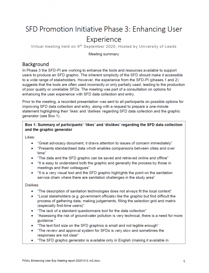
University of Leeds (2021) SFD Promotion Initiative Phase 3: Enhancing User Experience
This report is a summary of a virtual meeting held on 9th September 2020, and hosted by the University of Leeds. The background information is found below. In Phase 3 the SFD-PI are working to enhance the tools and resources available to support users to produce an SFD graphic. The inherent simplicity of the SFD should make it accessible to a wide range of stakeholders. However, […]
Online since: 19.03.2021
Views: 1631
Downloads: 398
Mudgal, A. K. (2002) Draft Review of the Household Arsenic Removal Technology Options
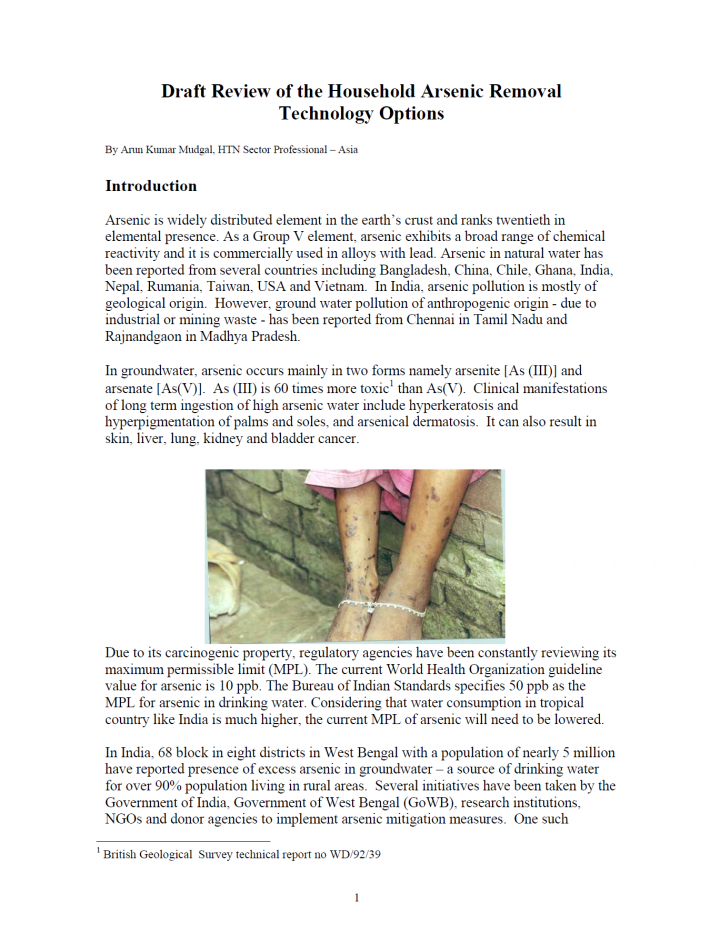
Arsenic is widely distributed element in the earth’s crust and ranks twentieth in elemental presence. As a Group V element, arsenic exhibits a broad range of chemical reactivity and it is commercially used in alloys with lead. Arsenic in natural water has been reported from several countries including Bangladesh, China, Chile, Ghana, India, Nepal, Rumania, Taiwan, USA and Vietnam. In India, arsenic pollution is mostly […]
Online since: 18.03.2021
Views: 1413
Downloads: 371
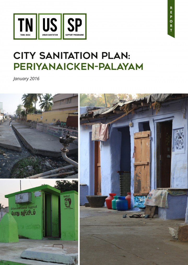
TNUSSP (2016) City Sanitation Plan: Periyanaicken-Palayam
The current document presents the City Sanitation Plan for PNP. PNP is one of the cluster towns selected for implementing fecal sludge management in Tamil Nadu. This plan is curated from the sanitation situation analysis which included identifying major components of sanitation (water supply, storm water drainage and solid waste management), issues related to it, and possible solutions.
Online since: 17.03.2021
Views: 1612
Downloads: 362
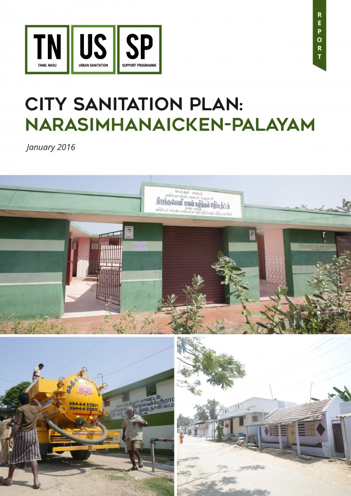
TNUSSP (2016) City Sanitation Plan: Narasimhanaicken-Palayam
This document presents the City Sanitation Plan for NNP. NNP is one of the cluster towns selected for implementing fecal sludge management in Tamil Nadu. This plan is curated from the sanitation situation analysis, which included identifying major components of sanitation (water supply, storm water drainage and solid waste management), and analysing related issues and possible solutions.
Online since: 17.03.2021
Views: 1623
Downloads: 312
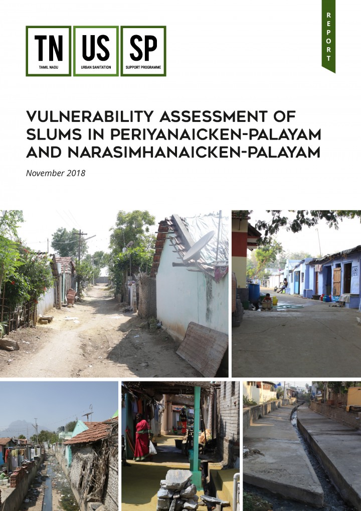
TNUSSP (2018) Vulnerability Assessment of Slums in Periyanaicken-Palayam and Narasimhanaicken-Palayam
To understand the vulnerability of the slums, all eleven slums in the town panchayats of Periyanaicken Palayam and Narasimhanaicken Palayam in Coimbatore were profiled using a range of indicators including location, migration, housing, water, sanitation, drainage, electricity, demography, and health seeking among others. This assessment helped categorise and prioritise slums in terms of their vulnerability, and to design and implement programmes for their improvement.
Online since: 17.03.2021
Views: 1280
Downloads: 352
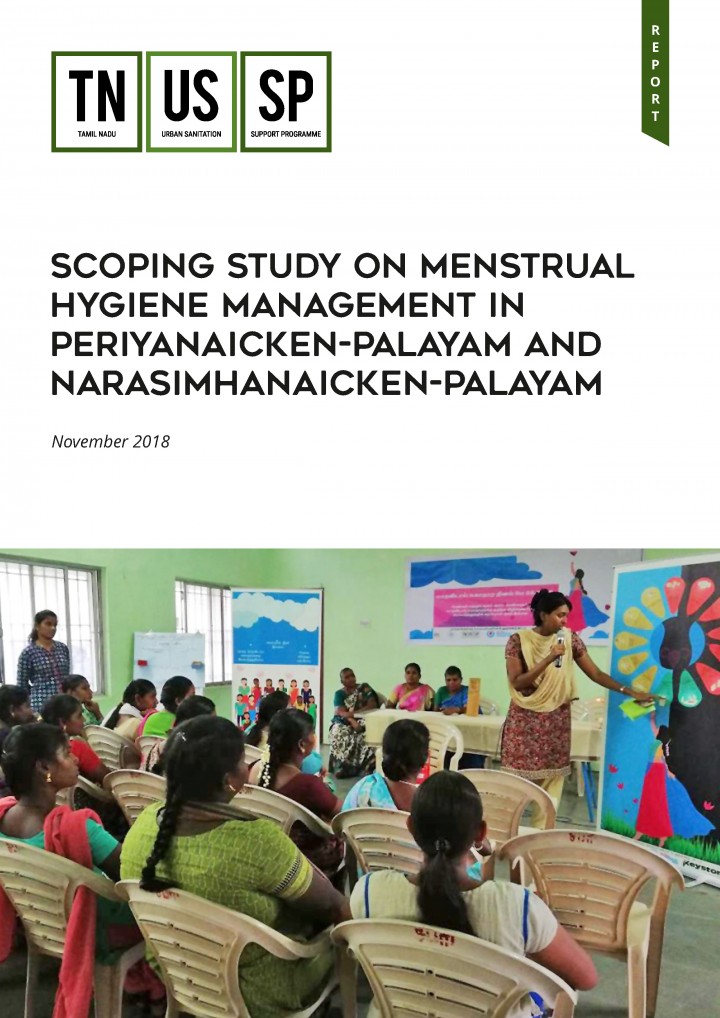
TNUSSP (2018) Scoping Study on Menstrual Hygiene Management in Periyanaicken-Palayam and Narasimhanaicken-Palayam
Improper disposal of menstrual waste is a noteworthy challenge when it comes to Menstrual Hygiene Management (MHM). Polymeric sanitary napkins, which have largely replaced cloth napkins, are made of material that is non-biodegradable, leading to the accumulation of used napkins in landfills. Accumulated menstrual waste can be hazardous because menstrual blood on napkins stagnates for a long time allowing pathogens such as Escherichia coli (E-coli) […]
Online since: 17.03.2021
Views: 1719
Downloads: 341
TNUSSP (2018) Assessment of Community and Public Toilets in Periyanaicken-Palayam and Narasimhanaicken-Palayam
TNUSSP carried an assessment of Community Toilets and Public Toilets facilities in the two town panchayats Periyanaicken-Palayam and Narasimhanaicken-Palayam in Coimbatore district. The assessment aimed to profile the facilities in terms of their existing infrastructure, waste and waste management, and operation and maintenance practices. Further, toilet usage patterns were analysed and exit interviews with facility users for their feedback was undertaken. Community of user and […]

Online since: 17.03.2021
Views: 1269
Downloads: 323
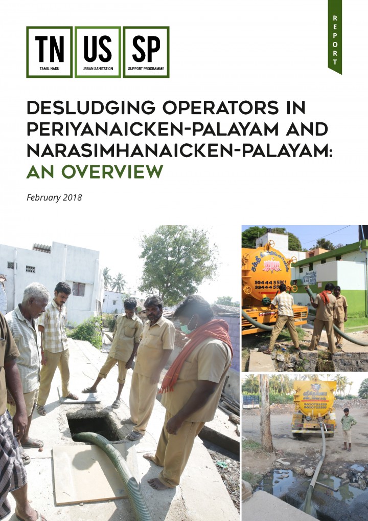
TNUSSP (2018) Desludging Operators in Periyanaicken-Palayam and Narasimhanaicken-Palayam: An Overview
Safe collection and safe disposal of fecal sludge is a critical component of septage management in which desludging operators play a central role. In order to understand their work, consultations were conducted with desludging operators in the Periyanaicken Palayam and Narasimhanaicken Palayam town panchayats of Coimbatore district. These consultations aimed to understand the current desludging practices, the different kinds of business models and the overall […]
Online since: 17.03.2021
Views: 1367
Downloads: 342
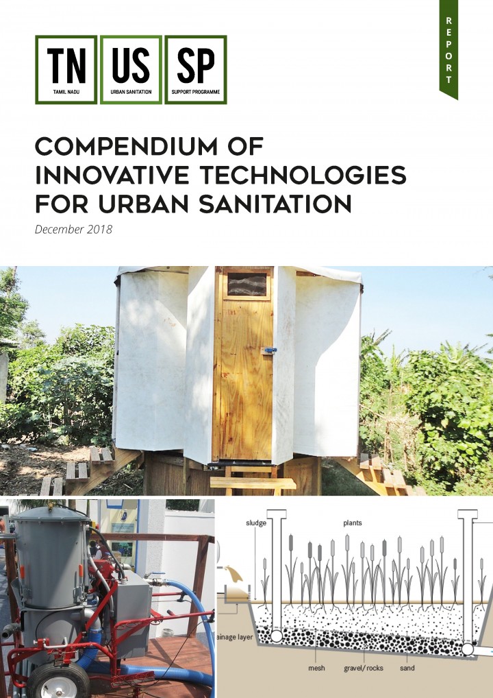
TNUSSP (2018) Compendium of Innovative Technologies for Urban Sanitation
This is a Compendium of technology options for various components in the urban sanitation chain. This Compendium is contextual to the geographic and economic conditions for the state of Tamil Nadu and aims to provide the user with a broad range of innovative sanitation systems and technologies that can be implemented on the ground. This document is designed to act as a reference guide and […]
Online since: 16.03.2021
Views: 1884
Downloads: 2144
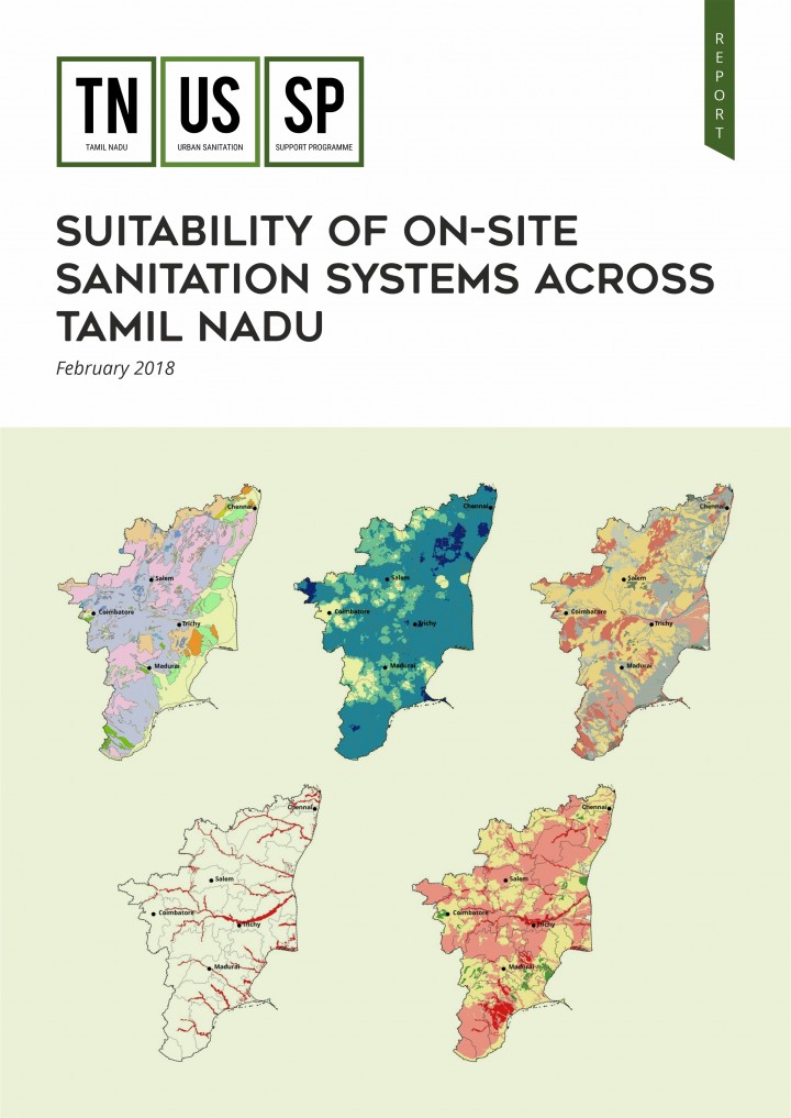
TNUSSP (2018) Suitability of On-site Sanitation Systems across Tamil Nadu
On-site sanitation systems (OSS) remain the dominant household arrangement across the state of Tamil Nadu for urban sanitation. Given that these OSS are spread over different hydrogeological zones, factors such as aquifer systems, soil drainage characteristics, groundwater levels and flood hazard areas have a bearing on their suitability. A study was undertaken for the state of Tamil Nadu to understand how these factors collectively determine […]
Online since: 16.03.2021
Views: 1286
Downloads: 2207
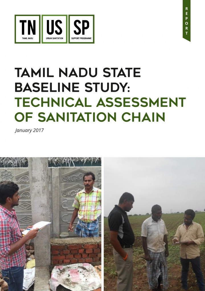
TNUSSP (2017) Tamil Nadu State Baseline Study: Technical Assessment of Sanitation Chain
TNUSSP carried out a baseline study in 36 ULBs across seven different agro- climatic zones to develop an understanding of the sanitation situation across the various region in the State of Tamil Nadu. The study used both quantitative and qualitative data collection methods to elicit information from various stakeholders including household members, masons, public toilet and community toilet operators, desludging operators, treatment facility operators and […]
Online since: 16.03.2021
Views: 1868
Downloads: 3159
TNUSSP (2016) Baseline Studies for Urban Sanitation: Tiruchirappalli, Periyanaicken-Palayam, Narasimhanaicken-Palayam
TNUSSP carried out a baseline study in Tiruchirappalli city and the two town panchayats of Periyanaicken- Palayam and Narasimhanaicken-Palayam in Coimbatore district. The study aimed to profile households, establishments and schools in these locations in terms of their arrangement for toilets, existing containment types, collection, conveyance, and disposal mechanism along with water supply arrangements. Further, solid waste management and menstrual hygiene practices were also discussed […]

Online since: 16.03.2021
Views: 1146
Downloads: 346
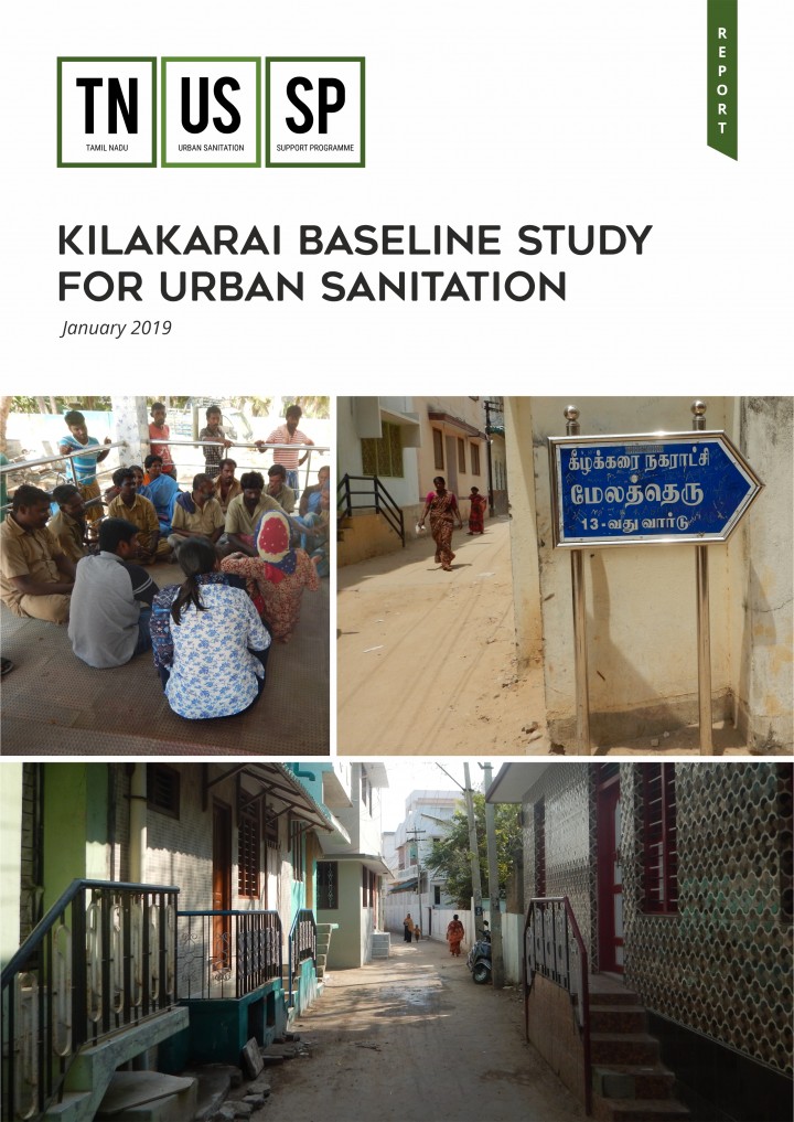
TNUSSP (2019) Kilakarai Baseline Study for Urban Sanitation
TNUSSP carried out a baseline study in Kilakarai municipality to understand the current situation of access to sanitation and arrangements made for fecal sludge management in households and establishments. The findings from the study provide an overview of the gaps and challenges across the sanitation chain in Kilakarai in effective implementation and monitoring of septage management.
Online since: 16.03.2021
Views: 1497
Downloads: 364
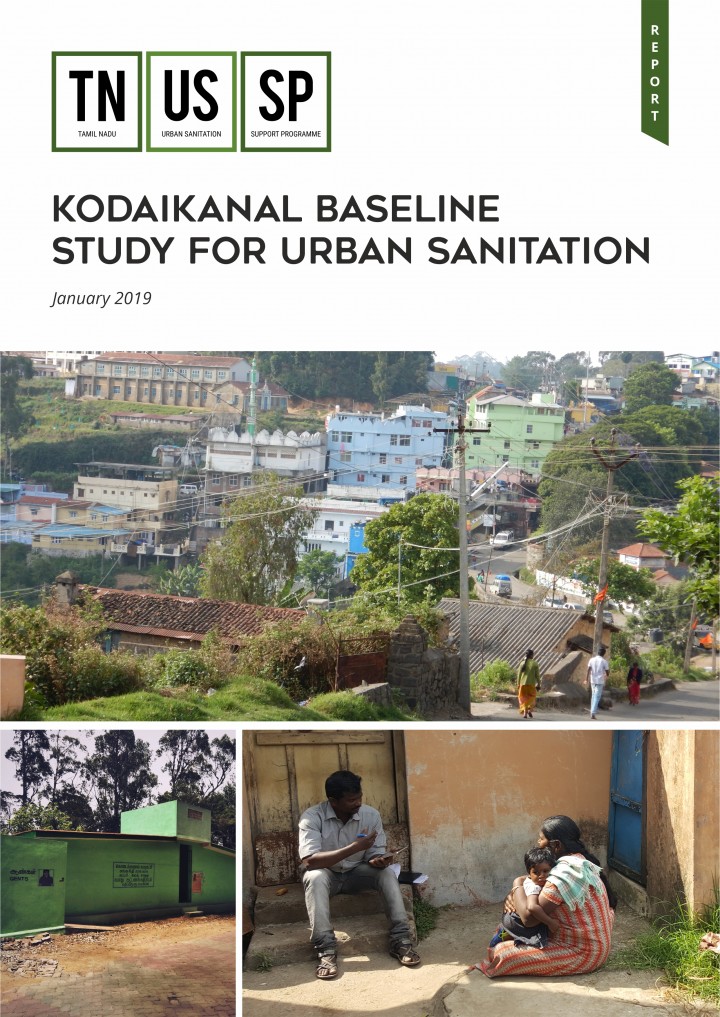
TNUSSP (2019) Kodaikanal Baseline Study for Urban Sanitation
TNUSSP carried out a baseline study in Kodaikanal municipality to understand the current situation of access to sanitation and arrangements made for fecal sludge management in households and establishments. The findings from the study provide an overview of the gaps and challenges across the sanitation chain in Kodaikanal in effective implementation and monitoring of septage management.
Online since: 16.03.2021
Views: 1022
Downloads: 324
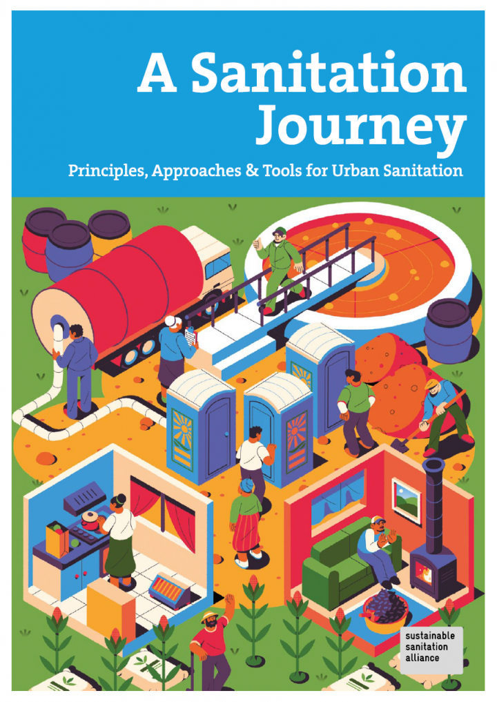
Schertenleib, R., Lüthi, C., Panesar, A., Büürma, M., Kapur, D., Narayan, A., Pres, A., Salian, P., Spuhler, D., Tempel, A. (2021) A Sanitation Journey Principles, Approaches & Tools for Urban Sanitation
Sanitation and hygiene are the foundation of healthy cities. They are a primary prerequisite for the health of our societies as well as economic development. However, achieving safe and sustainable urban sanitation for all has proven to be difficult, especially for the vulnerable and poor. The publication "A Sanitation Journey - Principles, Approaches and Tools for Urban Sanitation" provides an orientation to the sector’s current status […]
Online since: 15.03.2021
Views: 6701
Downloads: 1662
Various Authors (2021) Methods for Faecal Sludge Analysis
Faecal sludge management is recognized globally as an essential component of city-wide inclusive sanitation. However, a major gap in developing appropriate and adequate management and monitoring for faecal sludge is the ability to understand and predict the characteristics and volumes of accumulated faecal sludge, and correlations to source populations. Since standard methods for sampling and analysing faecal sludge do not currently exist, results are not […]
Online since: 15.03.2021
Views: 1515
Downloads: 375
Kansakar, L. K., Shrestha, A. M., Ashorn, M., Babu, S., Ahmad, T. (2021) Evolution of the Kathmandu Valley Cholera Prevention and Preparedness Programme
Cholera outbreaks occur almost every year during the monsoon season in Nepal. The 1.3 million people living in the Kathmandu Valley are some of the most affected and vulnerable in the country. The earthquakes in 2015 caused massive population displacement and increased the potential for an outbreak as a result of the widespread destruction of water supply infrastructure and sanitation facilities. A major outbreak was […]
Online since: 11.03.2021
Views: 1111
Downloads: 345