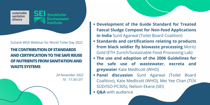
SuSanA (2022) WG5 Webinar: The contribution of standards and certification to the safe reuse of nutrients from sanitation and waste systems
To commemorate World Toilet Day 2022, the SuSanA Working Group on productive sanitation and food security (WG5) and the Stockholm Environment Institute (SEI), along with partners, organised a webinar about the role of standards and certification systems in the safe reuse of nutrients from sanitation systems. Moderated by WG5 Lead Daniel Ddiba. This entry is the collection point of the different resources from the webinar, including […]
Online since: 25.11.2022
Views: 1451
Downloads: 4005
SEI (2016) 10th SEI Webinar: Community initiatives for sanitation and health
Poor sanitation has serious implications for health including a large burden of diarrheal diseases, which remains the second leading killer of children under 5 globally, and a large burden of intestinal worms. Improving access to sanitation and hygiene and changing behaviours can bring not only health benefits but also many other positive changes in a community, including social, economic and environmental gains. Deepening our understanding of […]
Online since: 24.04.2018
Views: 1967
Downloads: 0
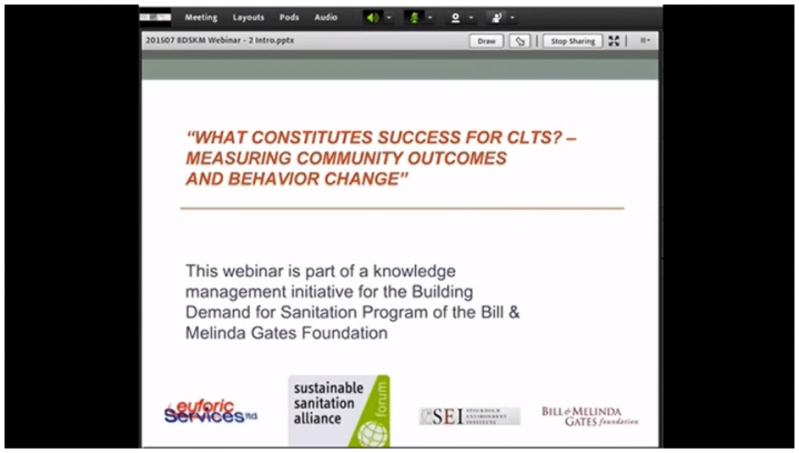
SEI (2015) 9th SEI Webinar: CLTS monitoring success
This webinar was conducted on 22 June 2015 and has been recorded in 4 parts. This video clip contains Part 1 which is introduction by Pippa Scott (Euforic Services) during the webinar 'What constitutes success for CLTS? Measuring community outcomes and behavior changes'. To watch part 2-4 please go to links below. Speakers: 1) Ada Oko Williams, Technical Support Manager, Sanitation and Hygiene, WaterAid UK; 2) Darren […]
Online since: 24.04.2018
Views: 2087
Downloads: 0
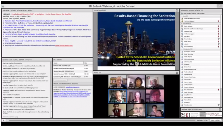
SEI (2015) 8th SEI Webinar: Results based financing (RBF) for sanitation
This webinar was organised under the Knowledge Management initiative (http://www.bdskm.net/) of the Building Demand for Sanitation (BDS) program of the Bill & Melinda Gates Foundation. The webinar was moderated by Peter Feldman, and supported by Pippa Scott and Pete Cranston of Euforic Services. It was hosted by Stockholm Environment Institute and the SuSanA secretariat on 29 April 2015. To watch Part 2-7 of this webinar, […]
Online since: 24.04.2018
Views: 1814
Downloads: 2787
de los Reyes, F. (2014) 7th SEI Webinar: Adding missing links in sanitation value chains
"Adding missing links in sanitation value chains" - a discussion with three Bill & Melinda Gates Foundation grantees. Hosted by: Stockholm Environment Institute and the Sustainable Sanitation Alliance (SuSanA) on 29 April 2018. This webinar has been recorded in 5 parts. This video clip contains Part 1, which is an introduction by Arno Rosemarin. To watch part 2-5 please go to links below. Moderator: Nelson Ekane (SEI) Sub-topic […]
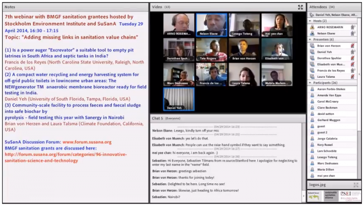
Online since: 24.04.2018
Views: 1964
Downloads: 0
SEI (2014) 6th SEI Webinar: Productive sanitation
"Productive sanitation" - a discussion with three Bill & Melinda Gates Foundation grantees. Hosted by: Stockholm Environment Institute and the Sustainable Sanitation Alliance (SuSanA) on 25 February 2014. This webinar has been recorded in 5 parts. This video clip contains Part 1, with an introduction by Arno Rosemarin. Moderator: Nelson Ekane (SEI) Sub-topics within the webinar: 1) Large scale production and commercialization of "Fortifer" - a fertilizer manufactured […]
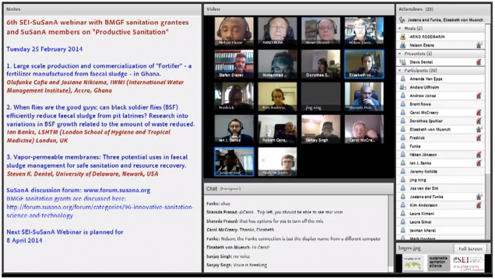
Online since: 24.04.2018
Views: 2226
Downloads: 0
SEI (2014) 5th SEI Webinar: Resource recovery and reuse - Introduction
"Resource recovery and reuse" - a discussion with three Bill & Melinda Gates Foundation grantees. Hosted by: Stockholm Environment Institute and the Sustainable Sanitation Alliance (SuSanA) on 21 January 2014. This webinar has been recorded in 4 parts. See links below for Part 2-4. The three papers given were as follows (see separate video clips): 1) VUNA - Valorisation of Urine Nutrients in Africa 2) Modeling the next […]
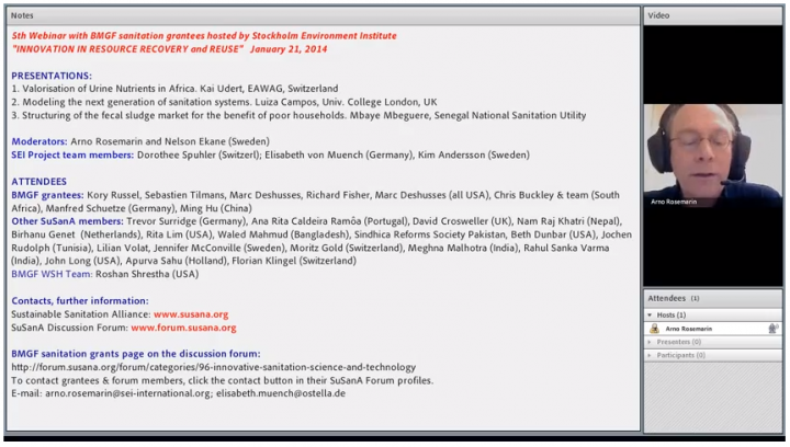
Online since: 24.04.2018
Views: 1669
Downloads: 0
SEI (2013) 4th SEI Webinar: Innovation in Toilet Designs and Waste Treatment Technologies
"Innovation in Toilet Designs and Waste Treatment Technologies (Part 2)" - a discussion with three Bill & Melinda Gates Foundation grantees. Hosted by: Stockholm Environment Institute and the Sustainable Sanitation Alliance (SuSanA) on 26 November 2013. Moderators: Arno Rosemarin and Nelson Ekane (SEI) The three papers given were as follows: 1) Nano Membrane Toilet 2) New concepts for on-site sanitation based on bio-additives and pit design 3) Sol-Char Toilet: Using […]
Online since: 24.04.2018
Views: 1781
Downloads: 0
SEI (2013) 3rd SEI Webinar: Innovative Sanitation Solutions for Urban Areas
Innovative Sanitation Solutions for Urban Areas - a discussion with three Bill & Melinda Gates Foundation grantees. Hosted by: Stockholm Environment Institute and the Sustainable Sanitation Alliance (SuSanA) on 07 November 2013. The topic of this expert chat was "Innovative Sanitation Solutions for Urban Areas", and it was the third webinar in a series this year with the aim to give increased exposure to the […]
Online since: 24.04.2018
Views: 1920
Downloads: 0
SEI (2013) 2nd SEI Webinar: Innovation in Toilet Designs and Treatment Technologies
Sanitation Experts Discuss their Projects with Stockholm Environment Institute Bill & Melinda Gates Foundation Grantees Title: "Innovation in Toilet Designs and Treatment Technologies" This is the recording of an online expert chat using Adobe Connect hosted by Stockholm Environment Institute (Arno Rosemarin) on 12 September 2013. It is part of a larger grant that SEI received in November 2012 from the Bill & Melinda Gates Foundation. […]
Online since: 24.04.2018
Views: 2255
Downloads: 0
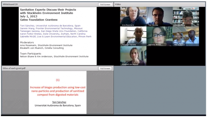
SEI (2013) 1st SEI Webinar: Biogas sanitation
This is the recording of an online expert chat using Adobe Connect hosted by Stockholm Environment Institute (Arno Rosemarin) on 1 July 2013. It is part of a larger grant that SEI received in November 2012 from the Bill & Melinda Gates Foundation. The topic of this expert chat was "Research projects involving anaerobic processes with biogas generation", and it was the first expert chat […]
Online since: 24.04.2018
Views: 1906
Downloads: 0
Yeh, D. (2013) NEWgenerator(TM) for recovery of nutrients, energy and water from human wastes Various documents on results from research grant
This library entry contains background documents for a grant that Daniel Yeh is leading and which is funded by the Bill and Melinda Gates Foundation. Further information and a discussion is available on the SuSanA discussion forum, see link below. Short description of the project: The NEWgenerator is a compact and robust resource recovery machine that is paired with pit latrines, septic tanks, fecal sludge pits and […]

Online since: 30.04.2014
Views: 5984
Downloads: 698
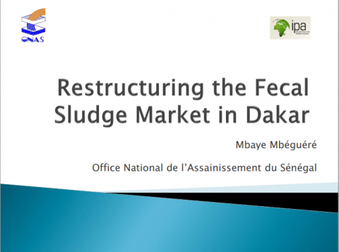
Mbéguéré, M. (2013) Structuring of the fecal sludge market for the benefit of poor households in Dakar, Senegal (ONAS) Various documents on results from research grant
This library entry contains background documents for a grant that Mbaye Mbéguéré is leading and which is funded by the Bill and Melinda Gates Foundation. Further information and a discussion is available on the SuSanA discussion forum, see the link below. Short description of the project (and goals): The National Office for Sanitation in Senegal (ONAS) has received a $17,070,000 grant from the Bill and Melinda Gates Foundation […]
Online since: 20.07.2013
Views: 8728
Downloads: 15850