Sanitation Library
Total results: 4436
Searching for information on Sanitation Workers?
The Sanitation Workers Knowledge + Learning Hub is the best source for all current news, trends, articles and updates on sanitation workers rights around the world.
96 Views
2 Downloads
Moulvibazar is a fast-growing city, which is 203 km away from the Dhaka city. It is beside the Manu River and well connected with road and water. It is one of the oldest towns in the sub-continent and was declared Municipality in 1987.
According to the population census in 2011 by the Bangladesh Bureau of Statistics (BBS), the Moulvibazar Population was 56,537. The urban population growth in …
84 Views
2 Downloads
Mymensingh is a fast-growing city, which is 112 km away from the Dhaka city. It is beside the Brahmaputra River and well connected with road, water, and railways. It is one of the oldest towns in the sub-continent and was declared City Corporation in 2018.
According to the population census in 2011 by the Bangladesh Bureau of Statistics (BBS), the Mymensingh city population was 512,062. The …
89 Views
2 Downloads
Manikganj is a fast-growing city, which is 54 km away from the Dhaka city. It is beside the Kaliganga River and well connected with road and waterway. It is one of the oldest towns and was declared Municipality in 1972.
According to the population census in 2011 by the Bangladesh Bureau of Statistics (BBS), the Manikganj city population was 71,698. The urban population growth is 2% per year. …
89 Views
1 Downloads
Kushtia is a fast-growing city located along the Dhaka- N1 and Rajshahi-Kushtia highway and 171 km West of Dhaka. It is beside the Madhumati River and is well connected with road, water, and railways. It is one of the oldest towns in the sub-continent and was declared a municipality in 1869.
According to the population census in 2011 by the Bangladesh Bureau of Statistics (BBS), the Kushtia …
52 Views
3 Downloads
Bheriganga Municipality is in Surkhet District, Karnali Province of Nepal. It has a total of 13 wards and covers an area of 256.2 km2. It was established on 2 December 2014.
According to national population and housing census 2021, the municipality has a total population of 48,203 and 11,539 households. The total male and female populations are 22,538 and 25,665 respectively. The population …
62 Views
7 Downloads
Shivaraj Municipality, established in 2014 through the merger of eight Village Development Committees (VDCs) in the Kapilvastu district, Nepal, encompasses 248.08 square kilometres.
The 2021 census reports a population of 84,810 in 16,241 households, with a gender distribution of 51.3% male and 48.7% female.
The SFD graphic shows that 49% of the excreta or faecal sludge generated are safely …
56 Views
2 Downloads
Habiganj is a fast-growing city, which is 159 km away from the Dhaka city. It is beside the Khowai River and well connected with road and water. It is one of the oldest towns in the sub-continent and was declared Municipality in 1881. Habiganj is one of the 53 district level municipalities in the country
According to the population census in 2011 by the Bangladesh Bureau of Statistics (BBS), …
101 Views
2 Downloads
Kurigram is a fast-growing city, which is 339 km away from the Dhaka. It is beside the Dharla River and is well connected with road and railways. It is one of the oldest towns in the sub-continent and was declared Municipality in 1972. Kurigram is one of the 53 district level municipalities in the country.
According to the population census in 2011 by the Bangladesh Bureau of Statistics …
89 Views
2 Downloads
Khagrachari is a fast-growing city, which is 273 km away from the Dhaka city. It is beside the Chengi River and well connected with road and water. It is one of the oldest towns in the sub-continent and was declared a Municipality in 1984. Khagrachari is one of the 53 district level municipalities in the country.
According to the population census in 2011 by the Bangladesh Bureau of Statistics …
122 Views
3 Downloads
Jhalokathi Municipality is a fast-growing city, which is 208 km away from the Dhaka city. It is beside the Bishkhali River and well connected with road and water. It is one of the oldest towns in the sub-continent and was declared Paurashava in 1875. Jhalokathi is one of the 53 district level municipalities in the country.
According to the population census in 2011 by the Bangladesh Bureau of …
90 Views
2 Downloads
Jashore (previously known as Jessore) is a fast-growing city located along the Dhaka-Khulna highway and 275 km Southern-Western of Dhaka. The Bhairab River passes through the middle of the city and is well connected with road, water, and railways.
According to the population census in 2011 by the Bangladesh Bureau of Statistics (BBS), the population of Jashore Municipality was 201,796. The …
95 Views
16 Downloads
Gulariya, a municipality in Nepal's Bardiya district, was established in 2053 BS (1997 AD) and later restructured in 2073 (2016 AD). Comprising 12 political wards over 118.21 square kilometres in the southern plains of the Terai region and positioned 35 kilometres west of Nepalgunj, Gulariya has an elevation of 187 metres.
The 2021 national population and housing census reported a population …
84 Views
1 Downloads
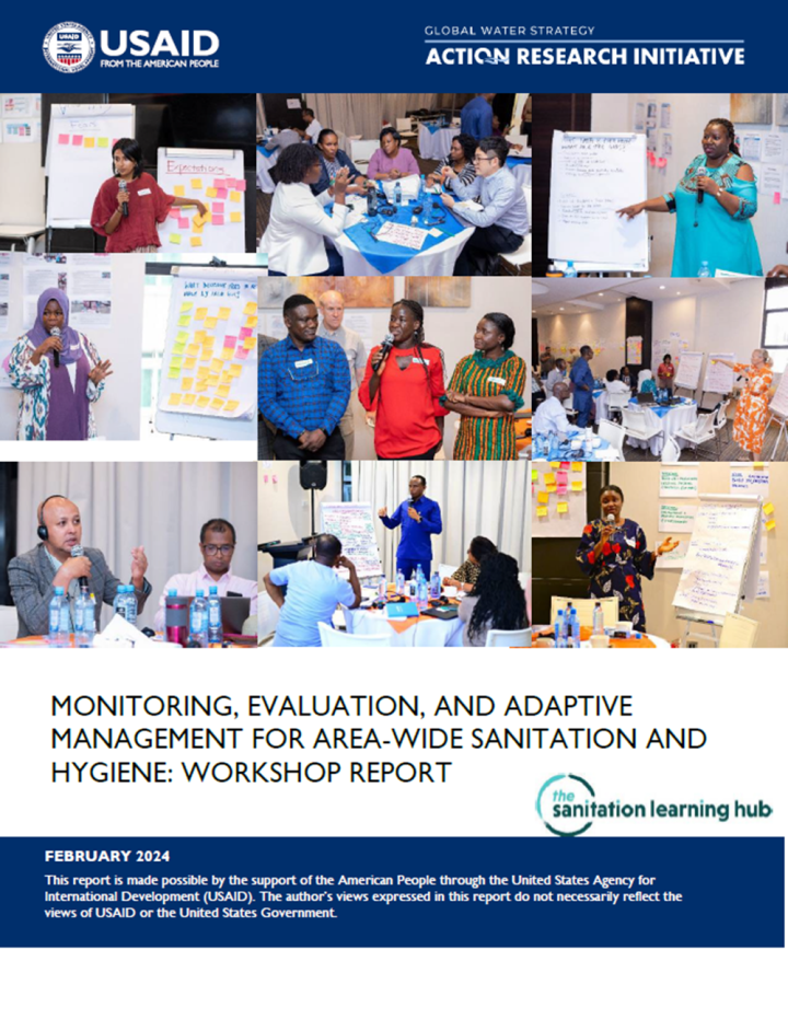
Monitoring and evaluation (M&E) is essential to understanding the barriers, successes, and progress made toward achieving area-wide sanitation and hygiene outcomes. However, M&E can be challenging to undertake, given significant and competing demands on limited local government resources and capacities. USAID’s WASHPaLS #2 area-wide sanitation (AWS) desk review identified significant knowledge …
58 Views
0 Downloads
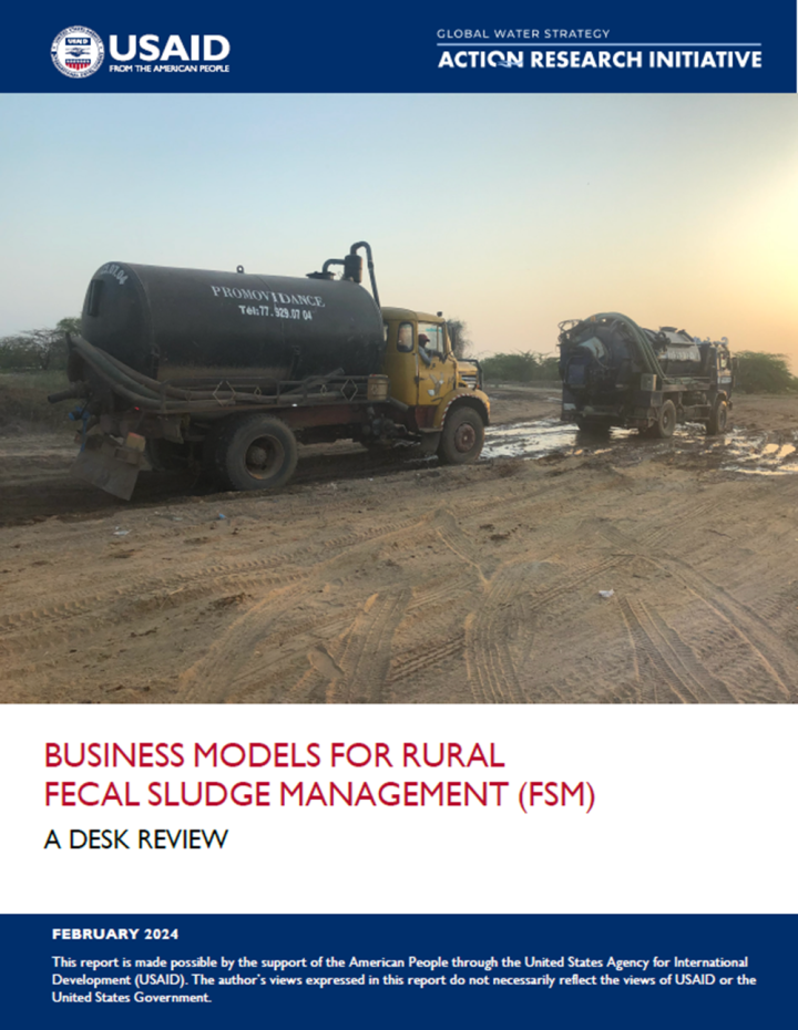
Over the last decade, basic sanitation coverage in rural areas of low- and middle-income countries has progressed significantly, especially in Asia. Sustaining those resulting gains in human, environmental, and community health, all while progressing toward targets of Sustainable Development Goal 6, requires safely managing the fecal sludge generated in on-site sanitation systems.
When …
140 Views
5 Downloads
Kamalamai Municipality was declared as municipality in 1996. It is in Sindhuli District, Bagmati Province in the Central South Nepal. It is divided into 14 political wards.
The municipality has a total population of 71,016 with 34,416 males and 36,700 females (Census 2021, n.d.). Out of total wards, ward number 6 has the largest population (12,498) while ward number 3 has the least population …
262 Views
55 Downloads
The capital city of Malawi, Lilongwe City, is situated in the Lilongwe river inland plains at the junction of the Namanthanga and Lilongwe rivers. The city is located in Lilongwe District which is found in the Central Region of the Republic of Malawi.
Lilongwe city had a population of 989,318 people as per the most recent census in 2018, which was 5.6% of Malawi's total population. As of 2018, …
97 Views
1 Downloads
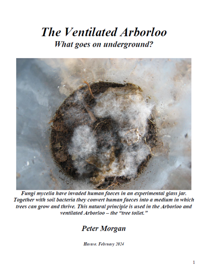
The Arborloo is a simple ecological toilet that was designed to recycle human waste within a shallow pit where the contents are transformed from a vile and disease forming material into a product which trees can tolerate, thrive and grow in without the user having to be in contact with the pit material. Many articles have been written by the writer about the Arborloo and other ecological toilets …
299 Views
0 Downloads
O procedimento de revisão de cinco passos desenvolvido pela iniciativa de promoção de SFD garante a padronização de todos os relatórios SFD publicados no Portal Web de SFD. Teremos o prazer de fornecer comentários sobre o seu relatório SFD.
Um membro do grupo de especialistas fornecerá comentários sobre a avaliação e orientará você através da verificação de qualidade para …
339 Views
0 Downloads
El procedimiento de revisión de cinco pasos desarrollado por la iniciativa de promoción de SFD garantiza la estandarización de todos los reportes SFD publicados en el Portal Web de SFD. Estaremos encantados de proporcionarle comentarios sobre su reporte SFD.
Un miembro del grupo de expertos le proporcionará comentarios sobre la evaluación y lo guiará a través del control de calidad para …
289 Views
1 Downloads
La procédure d'examen en cinq étapes développée par l'initiative de promotion des SFD garantit la standardisation de tous les SFD publiés sur le portail web. Nous vous offrons la possibilité d’une révision de votre rapport SFD.
Un membre du pool d'experts vous fournira des commentaires sur votre évaluation et vous guidera à travers le contrôle de qualité pour finaliser votre …
248 Views
8 Downloads
Shaarada Municipality is situated in Salyan District of Karnali Province in the western region of Nepal. It is divided into 15 wards and covers an area of 198.34 sq. km. It was officially established on May 16, 2014
As per the national population and housing census conducted in 2021, Shaarada Municipality has a total population of 34,663 with 16,388 male and 18,275 female population. It has …
327 Views
8 Downloads
Janakpurdham Sub-Metropolitan City is situated in Dhanusa District of Madhesh Province in the southern region of Nepal. Formerly, it was established as Janakpur Sub-metropolitan City on 1960. Later on 2014, it was re-named as Janakpurdham and changed the sub-metropolitan city to sub-metropolitan city. It is divided into 25 wards
As per the national population and housing census conducted in …
247 Views
15 Downloads
Tilottama Municipality is in Rupandehi District, Lumbini Province of Nepal (MoLFM, 2016). The municipality was established on 8 May 2014. It has a total of 17 wards and covers 126.19 square kilometres of area. It is surrounded by Butwal Submetropolitan City in the north, Siddharthanagar Municipality and Omsatiya Rural Municipality in the south, Rohini River and Devdaha Municipality in the east …
294 Views
17 Downloads
Kharas is a Palestinian village in Hebron Governorate, located 12 km northwest Hebron city, in the south of the West Bank. The village is located within the southern Palestinian mountains, to the north of Wadi Arab. The village is surrounded by Halhul to the east, Nuba and Beit Ula to the south, Surief to the north and the Green Line to the west.
The population of Kharas town for the year …