Sanitation Library
Total results: 4436
Searching for information on Sanitation Workers?
The Sanitation Workers Knowledge + Learning Hub is the best source for all current news, trends, articles and updates on sanitation workers rights around the world.
609 Views
35 Downloads
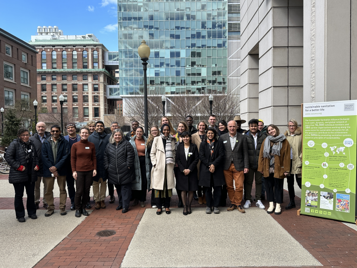
The SuSanA North America meeting took place on 19th March 2023 - right before the UN 2023 Water Conference. It was jointly organised by our Global Steering Committee Member Prof. Kartik Chandran (Columbia University) and the SuSanA-Secretariat.
This entry is the collection point of the different resources from the SuSanA Meeting, including presentations and program overview.
We once again …
601 Views
6 Downloads
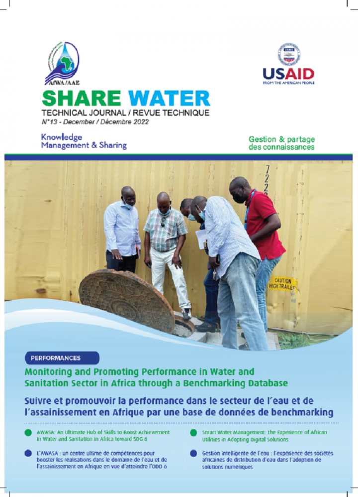
The thirteenth issue of the African Water Association (AfWA) technical and bilingual magazine, Share Water, is now available. It provides solutions in terms of guidelines and tools likely to help manage the WASH businesses efficiently and mitigate the shortage of water supply, for improved access to sustainable water and sanitation services for all in Africa.
Among these solutions, the water …
523 Views
7 Downloads
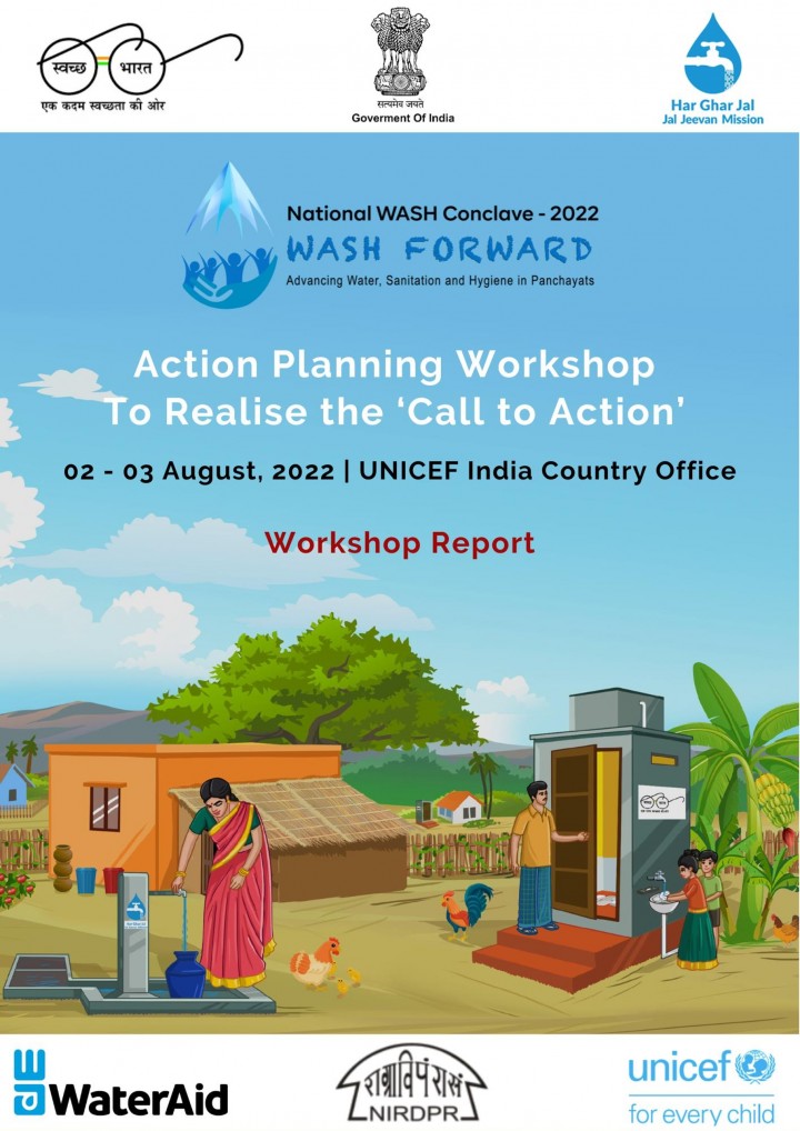
The NIRDPR in partnership with UNICEF, WaterAid and other development partners had conducted a 3-day National WASH Conclave “WASH Forward: Advancing Water, Sanitation and Hygiene in Panchayats” during February 23-25, 2022. Over 3000 participants including representatives from the Ministry of Jal Shakti, Ministry of Panchayati Raj, officials from the state and district …
544 Views
3 Downloads
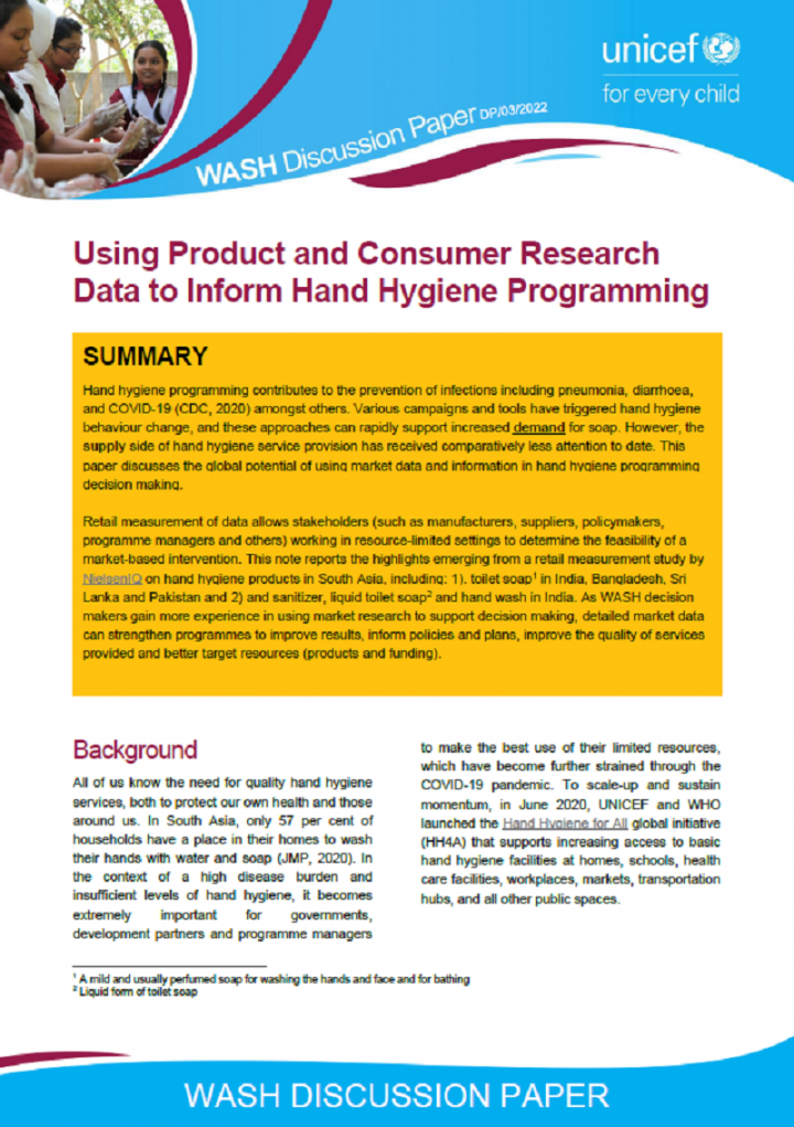
Hand hygiene programming contributes to the prevention of infections including pneumonia, diarrhoea, and COVID-19 (CDC, 2020) amongst others. Various campaigns and tools have triggered hand hygiene behaviour change, and these approaches can rapidly support increased demand for soap. However, the supply side of hand hygiene service provision has received comparatively less attention to date. This …
574 Views
10 Downloads
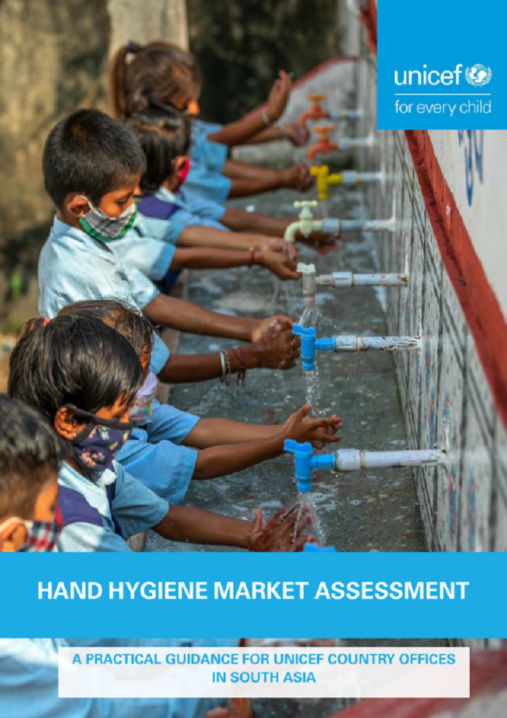
This document aims to be a guide, and a starting point for hand hygiene market assessments for ROSA Country Offices. The information here is based on previous UNICEF market assessments, market mapping toolkits, technical briefs, and field note learnings listed in the footnotes and the reference section.
519 Views
5 Downloads
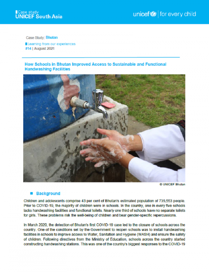
Children and adolescents comprise 43 per cent of Bhutan’s estimated population of 735,553 people. Prior to COVID-19, the majority of children were in schools. In the country, one in every five schools lacks handwashing facilities and functional toilets. Nearly one third of schools have no separate toilets for girls. These problems risk the well-being of children and bear gender-specific …
859 Views
70 Downloads
Dakneshwori municipality is in southern terai region of Nepal. The municipality was formed in 2016 by merging Kabilasa, Harihara, tarahi, Bhutahi, pato, Aurahi, Barhmapur, Banaula, Patthargada and Gamhariya VDCs. The geographical coordinate of the municipality is 26.50o North and 86.62o East. The municipality is divided into 10 political ward boundaries.
The total population of the …
775 Views
43 Downloads
Mangalsen municipality is the capital of Achham District in Far-western Province of Nepal. It was established on 18 May 2014 by merger of the former Village development committees of Janalibandali, Kuntibandali, Oligaun, Jupu, Kalagaun into its current form. There are 14 wards in Mangalsen municipality, and the municipality covers 220 square kilometres of geographical area.
The total …
802 Views
28 Downloads
Mahdia is located in Administrative Region (8) - Potaro Siparuni of Guyana and is also near the centre of the country with an altitude of 415 m and elevation of 1,360 m. The town is approximately 203 km for the country’s capital city Georgetown.
With a population of 4,200 residents at approximately 842 households within the township, the major water supply to households are private …
712 Views
77 Downloads
Siraha municipality is in southern terai region of Nepal. The municipality was restructured in 2016 by merging former village development committees namely Lagadigadiyani, Laxminiya, Samhaitha, lagadigoth and Hakpara in Siraha Municipality. The municipality is divided into 22 political ward boundaries.
The total population of the municipality is 96,543 as per the preliminary report of census …
662 Views
21 Downloads
Odagaon is a town and Notified area council (geographical coordinates as 20°00'57.65"N 84°59'15.70"E) in the Nayagarh district of Odisha, India. It is around 100km away from the capital city of Bhubaneswar. As per Census of India, 2011, Odagaon Urban has the population of 5,401 with 1,240 households. As nearby rural areas have been included in new jurisdiction boundary, the population as of …
432 Views
2 Downloads
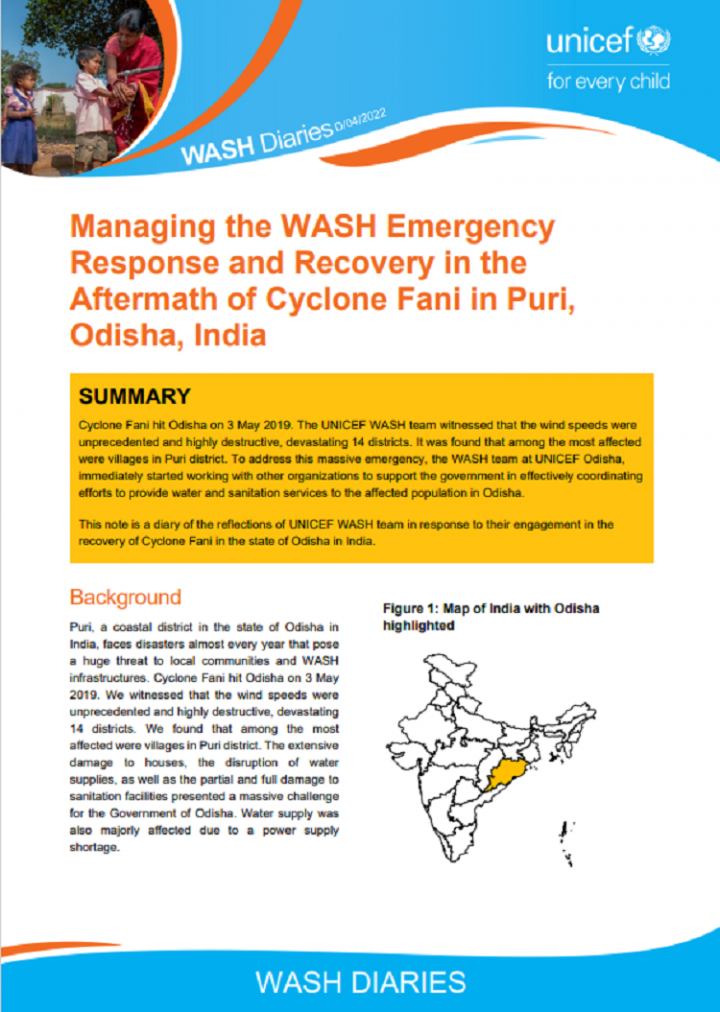
Cyclone Fani hit Odisha on 3 May 2019. The UNICEF WASH team witnessed that the wind speeds were unprecedented and highly destructive, devastating 14 districts. It was found that among the most affected were villages in Puri district. To address this massive emergency, the WASH team at UNICEF Odisha, immediately started working with other organizations to support the government in effectively …
689 Views
48 Downloads
Saint Mary is a rural parish located on the Caribbean island of Jamaica. The geographical coordinates of Saint Mary are latitude 18°09' north and longitude 77°03' west. Saint Mary is the fifth smallest parish on the island and its capital is Port Maria. The parish is located on the north eastern coast of the island and has an area of 611.3 km2. Jamaica is divided into three counties namely …
1000 Views
64 Downloads
Dipayal Silgadhi municipality is the district headquarters of Doti District in Sudurpashchim Province of Nepal. The former district headquarters of Far Western Development Region, Dipayal Silgadhi lies in the lesser Himalayas on the bank of Seti River at 29°16′N 80°56′E. The municipality comprises nine wards, the smallest local government unit. (Municipality, 2018).
The total population …
866 Views
73 Downloads
Badimalika Municipality lies in Bajura District in Sudurpaschim Province of Nepal. It was established in March 2017 in accordance with the 2015 Nepali Constitution, as decided by the cabinet. It is formed by merging previously three Village Development Committees (VDCs) named Martadi, Budiganga and Jugada. There are nine political wards in the municipality.
Population of Municipality is …
814 Views
43 Downloads
Patan Municipality is in Baitadi District, Sudurpaschim Province of Nepal. The municipality is extended to 219.26 km2. It is divided into 10 wards. The municipality is surrounded by Sigas rural municipality in the east, Dashrathchand municipality and Melauli in the west, Surnava and Dogada rural municipality in north and Dadeldhura district in the south.
According to Census 2011, the …
904 Views
66 Downloads
Gazipur is a fast-growing city, which is 25 km away from the Dhaka city. It is beside the Turag and Balu Rivers and it is well connected with road, water, and railways. It is one of the oldest towns in the sub-continent and was declared City Corporation in 2013. Gazipur is one of the 12 City Corporation in the country.
According to the population census in 2011 by the Bangladesh Bureau of …
902 Views
46 Downloads
Gopalganj is a fast-growing city located along the Dhaka-Khulna highway and 209 km South of Dhaka. It is beside the Kaliganga River and it is well connected with road, water, and railways. It is one of the oldest towns in the sub-continent and was declared a municipality in 1972. Gopalganj is one of the 53 district level municipality in the country.
According to the population census in 2011 …